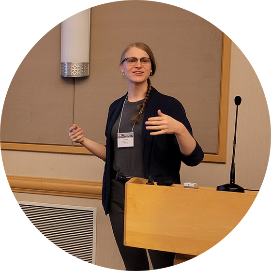
Freyja Brandel-Tanis, AICP

City Planner | Civil Engineer | She/Her
| Home | Portfolio | Resume |
Publications
Exploring Digital Twins for Transport Planning: A Review
The culmination of my Fulbright research, I published a literature review with my colleagues at NTNU delving into how digital twins fit into the transportation planning and mobility sector of the field. We found that the existing literature reviews looked at digital twins in other transportation sectors, including autonomous vehicles, smart cities, and freight.
Nag, Dipanjan, Freyja Brandel-Tanis, Zakiya Aryana Pramestri, Kelly Pitera, and Yngve Karl Frøyen. “Exploring Digital Twins for Transport Planning: A Review.” European Transport Research Review 17, no. 1 (2025): 15. https://doi.org/10.1186/s12544-025-00713-0.
Deadhead Minimization with a Flexible Facility Locator Tool
Originally written for Dr. Kari Watkins’ Transit Systems Planning and Design course, we designed a Shiny program to compare bus deadhead time between existing and potential depot locations. The concept arose from MARTA’s interest in a north-metro bus depot and our desire to produce a result that will continue to be meaningful in the future.
The poster was presented at the Transportation Research Board’s 2021 virtual conference and the paper was published in the Transportation Research Record. The facility locator tool is available on GitHub. The tool uses the dodgr package for network analysis and input GTFS data.
I presented this work at the joint GPA/TAPA conference in Chattanooga, TN on October 7, 2021.
Todd, Kara, Freyja Brandel-Tanis, Daniel Arias, and Kari Edison Watkins. “Deadhead Minimization with a Flexible Facility Locator Tool.” Transportation Research Record 2676, no. 2 (2022): 504–15. https://doi.org/10.1177/03611981211044455.
Read paper on TRR
Download Poster PDF
Download GPA/TAPA Presentation
Economic Sustainability of Sidewalk Networks and Funding Scenario Cost Distributions in Atlanta, GA
Bray, Vincent M., Freyja Brandel-Tanis, Will Reichard, Scott O’Brien, and Randall Guensler. “Economic Sustainability of Sidewalk Networks and Funding Scenario Cost Distributions in Atlanta, GA.” UC Davis: National Center for Sustainable Transportation. http://dx.doi.org/10.7922/G2K64GCW. November, 2022. Retrieved from https://escholarship.org/uc/item/95f5j003
Anti-Displacement Strategies for Equitable Transportation Planning
I co-wrote this white paper as an intern at Modern Mobility Partners with current MMP employees Julia Billings, AICP and Candace Foster.
localcovid19now: processing and mapping COVID-19 case data at subnational scales
Following my work in the Friendly Cities Lab, we’ve written an article on the localcovid19now package we developed. The paper discusses how the package aggregates data from sources across the world and allows case counts and event risk levels to be easily used and visualized.
Beckett, Stephen J., Freyja A. Brandel-Tanis, Quan Nguyen, et al. “Localcovid19now: Processing and Mapping COVID-19 Case Data at Subnational Scales.” Journal of Open Source Software 8, no. 81 (2023): 4898. https://doi.org/10.21105/joss.04898.
Counteracting COVID-19 Risk Misestimation with an Interactive Website: An Online Informational Intervention
It’s been really wonderful to work on the COVID-19 Event Risk Planning Tool, and particularly interesting to collaborate with Allie Sinclair and other researchers at Duke University’s Department of Psychology and Neuroscience to understand how people have been using the website and where it is effective. Very exciting to see user interaction in context beyond the site’s analytics!
Sinclair, Alyssa H., Morgan K. Taylor, Freyja Brandel-Tanis, et al. “Communicating COVID-19 Exposure Risk with an Interactive Website Counteracts Risk Misestimation.” PLOS ONE> 18, no. 10 (2023). https://doi.org/10.1371/journal.pone.0290708.
Read Allie Sinclair’s twitter thread about the paper
Projects
GIS Map Portfolio
Comparison of Border Resolution Comparison of Projections Comparison of Binning Methods
Autism Services Map
As a graduate research assistant for Dr. Singh at Georgia Tech, I used R Shiny and MySQL to create an interactive map of autism services in Georgia. It’s intended to provide an interface for autistic people, caregivers, and care providers to find services and providers that meet their needs. It also serves as an educational and research tool, allowing users to view available services throughout the state and spatially compare them to elements of the CDC/ATSDR Social Vulnerability Index. I also designed the homepage and the shiny wrapper for the Service Cliff Visualization.
The project is currently in Version 1 and is planning to enter testing in clinics in summer 2021. Next steps include further work with focus groups, integrating more data, and quality of life improvements.
Covington Corridors Studio
I worked with Aaron Fortner and fellow MCRP students to produce a corridor-focused plan for Covington, GA. I led the Washington Street Road Diet Big Idea component, focusing on improving Washington Street’s walkability, creating a gateway to Covington, and connecting affordable housing with greenspace and the downtown.
Austin, Tex. Next Generation TAMP
My group produced this Transportation Asset Management Plan for Austin, Tex. in Dr. Adjo Amekudzi-Kennedy’s Infrastructure Systems course. The plan discusses vulnerabilities to Imagine Austin Corridors from the urban heat island effect, flooding, and wildfires with a focus on equity and filling gaps from existing asset management plans.
Semester Design Project for CEE 4600: Transportation Planning and Design
I do not have an engineering background, rather a mathematics bachelor’s, so I needed to take Transportation Planning and Design as a pre-requisite for graduate-level transportation systems engineering courses.
For the semester project, we designed a new road to fit parameters given to our lab group. Our design features new intersections analyzed in Synchro, horizontal and vertical curvature, cross sections, and MUTCD marking and signage. I am particularly interested in active transportation planning, so I surpassed the project requirements for shared-use path designs.